Turn workouts
into viral GPS art
⚡ Ready in 30 seconds. Exports to Strava, Garmin, Komoot and many other apps.
The point
A run everyone remembers.
RouteSketcher turns any city into a canvas. Sketch a shape on the map, we snap it to real streets, and you get a GPX you can follow on your watch. Run it, post it, watch the comments roll in.
10K+
athletes sketching
$19.99
one time, forever
30 sec
to your first route
How it works
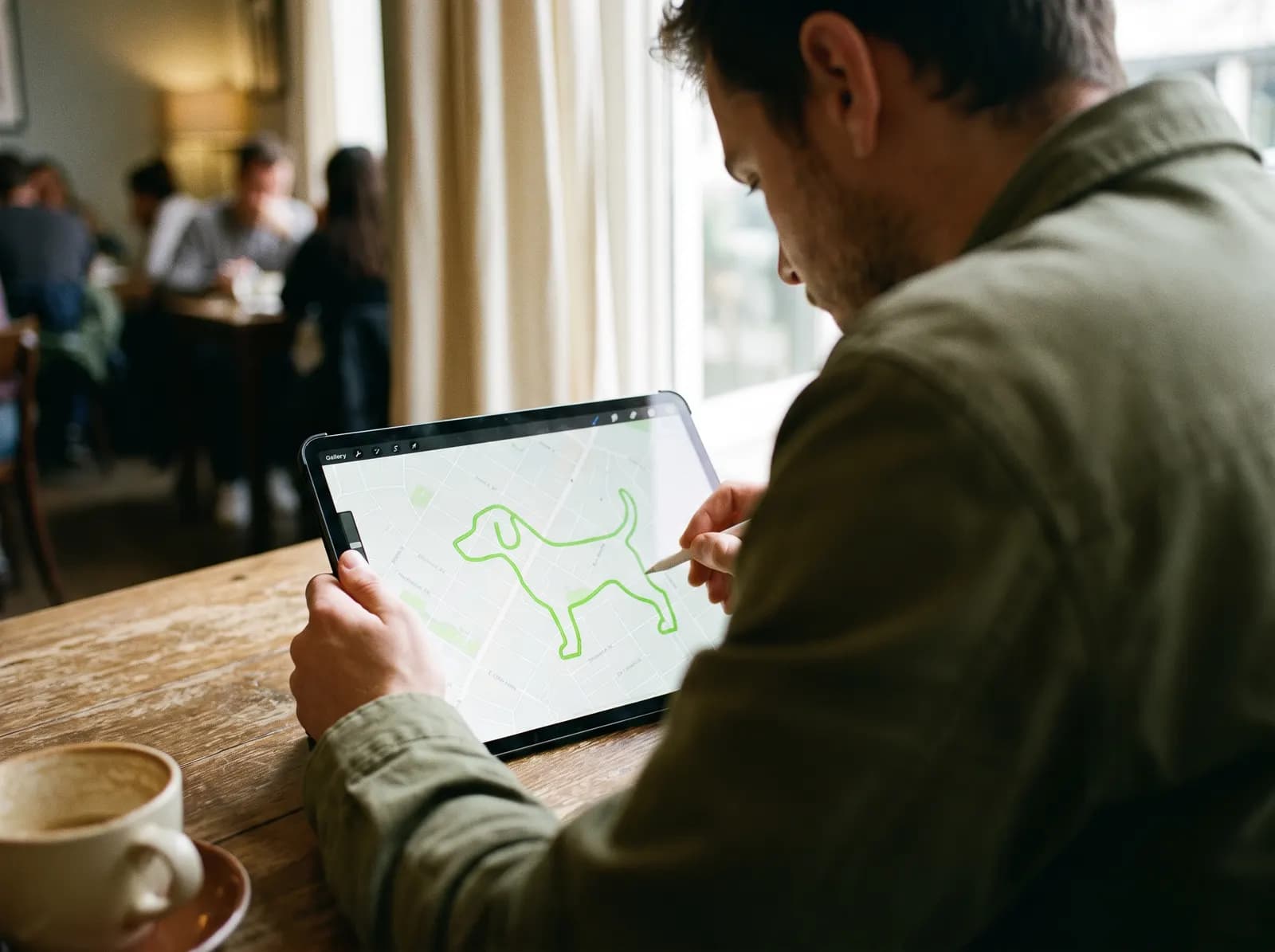
Draw it.
Sketch freehand, pick one of hundreds of ready shapes, or describe one and let the AI draw it. Every line gets snapped to real streets.
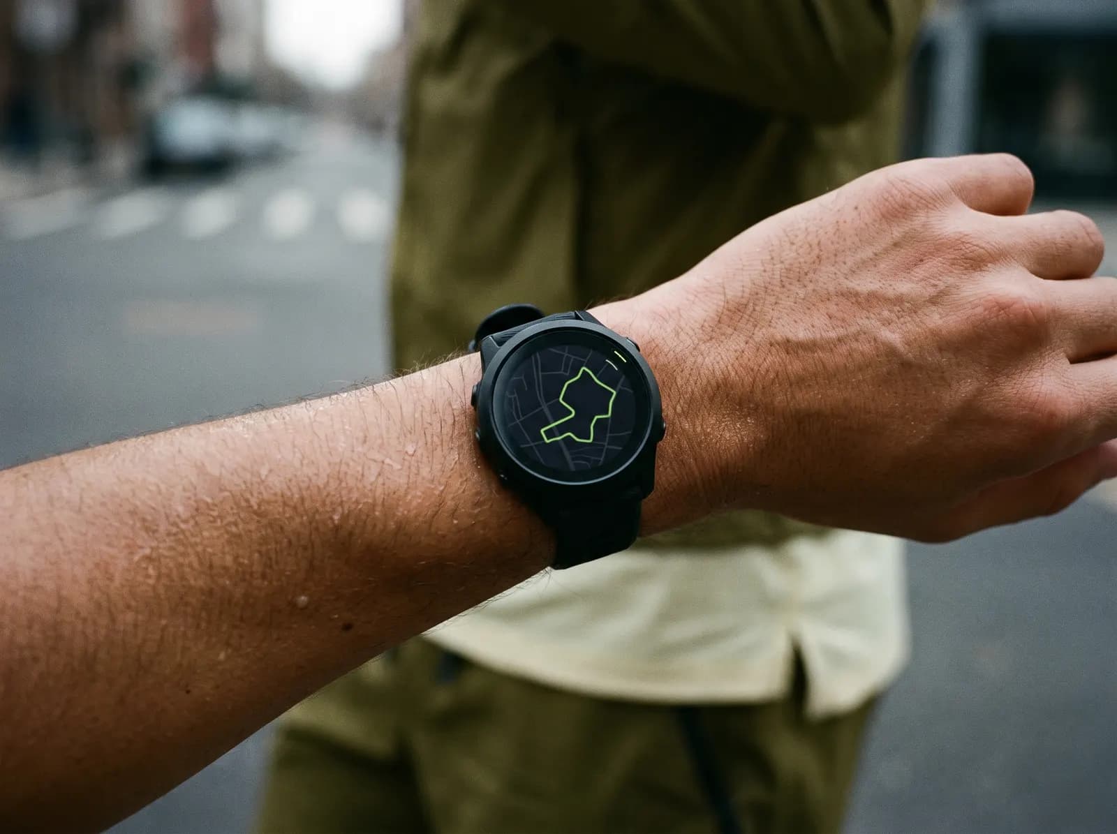
Run it.
Export a GPX to Strava, Garmin, Komoot or straight to your watch. Then follow the line.
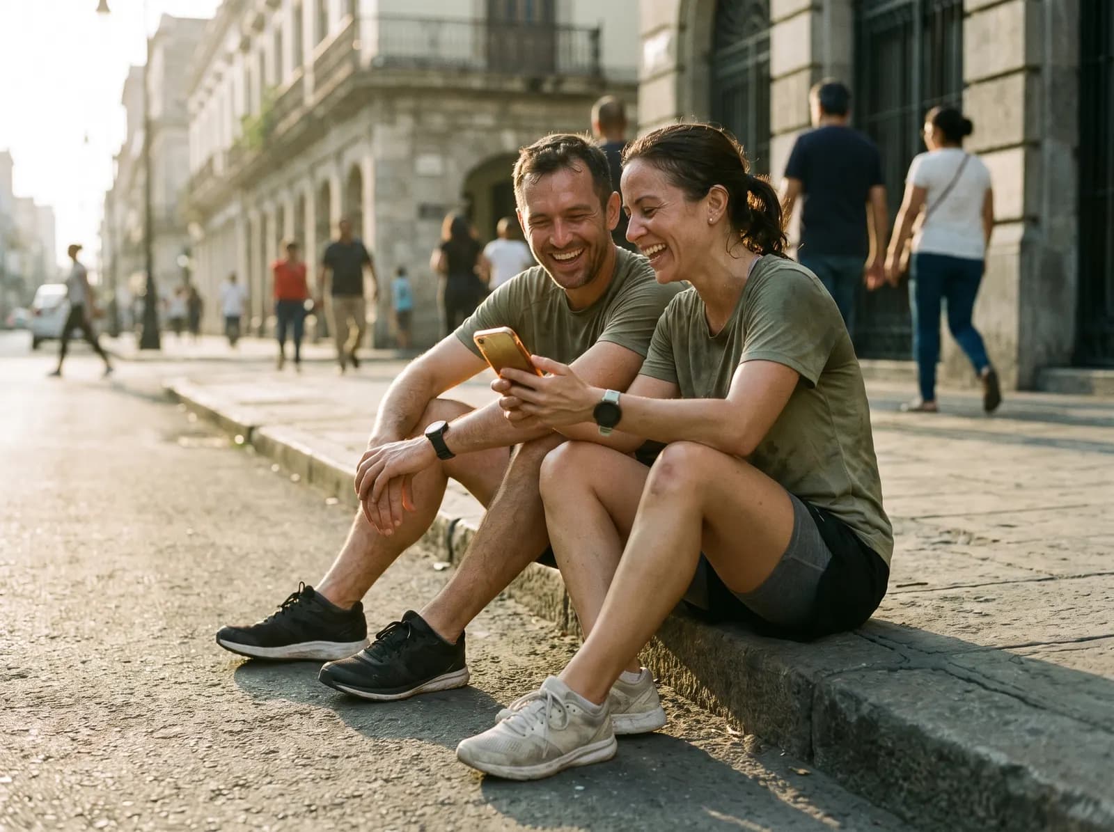
Post it.
Upload the activity and the shape shows up on the map. Add it to the public GPS art directory so others can run it too.
Everything you need to draw on a city
Browse the directory →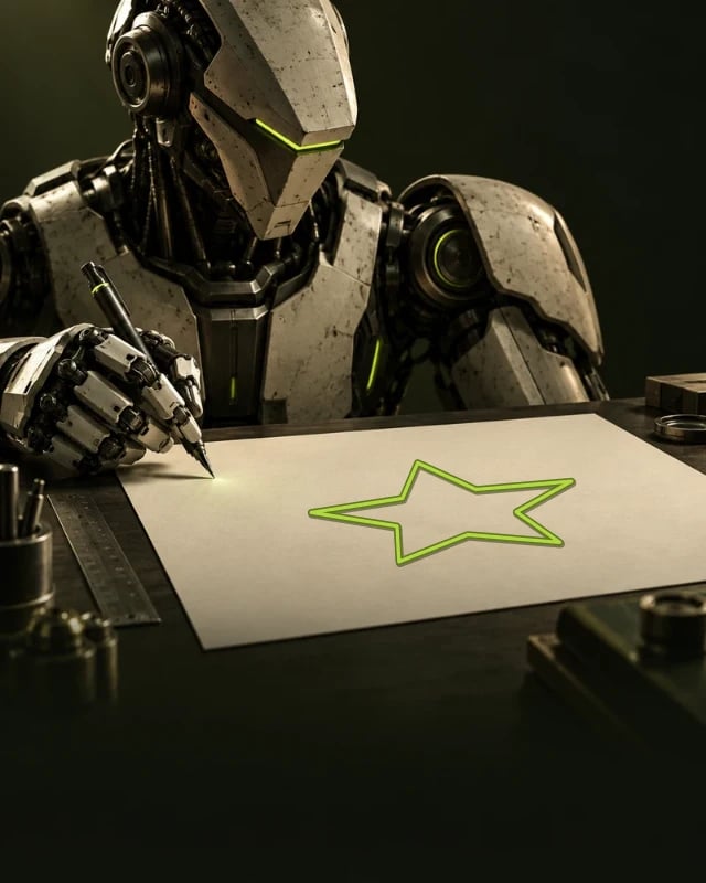
AI Doodle Generator
Describe the shape you want and the AI draws it for you. Your imagination is the only limit.
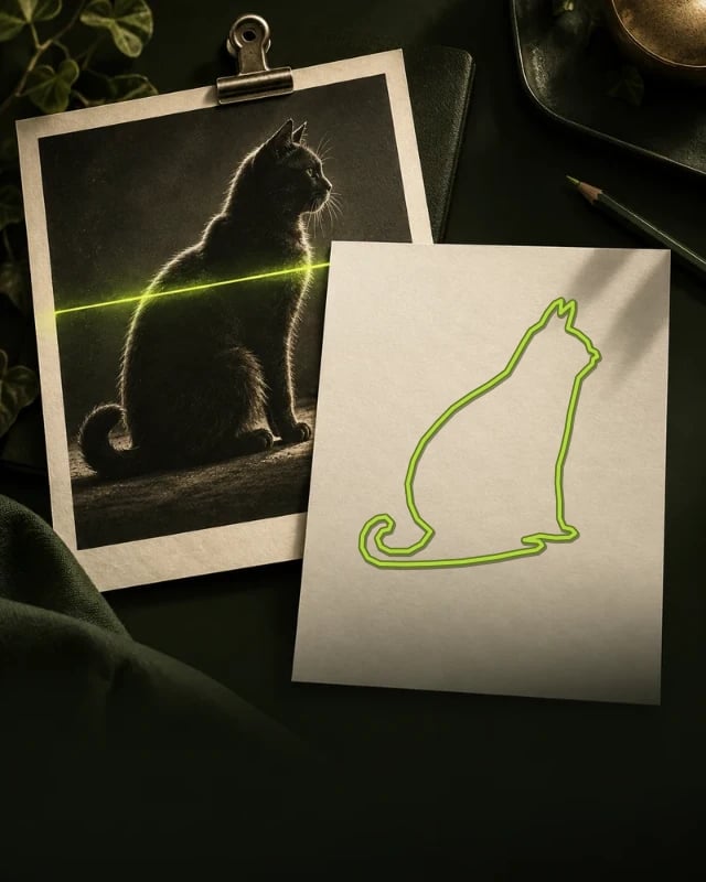
Auto-trace your photos
Upload a photo and our auto-tracing turns it into a pixel-perfect route in 20 seconds.
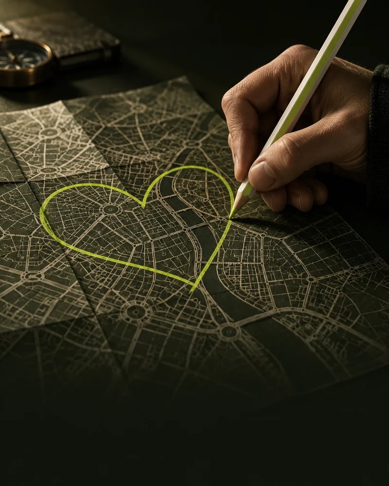
Sketch anywhere
Turn any location into your canvas: phone, tablet or laptop.
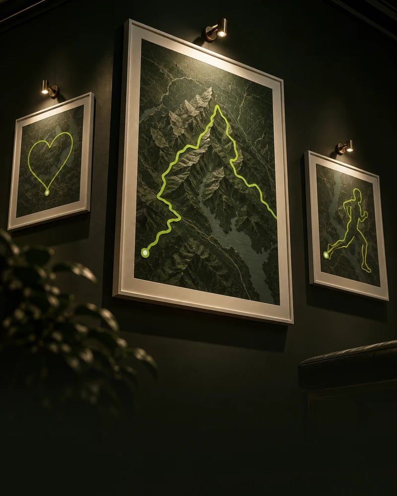
Get featured
Publish to the hall of fame, get inspired, and share your creations with the community.
Hundreds of ready doodles
Skip the guesswork. Pick a shape from the GPS Art Directory and drop it on your city.
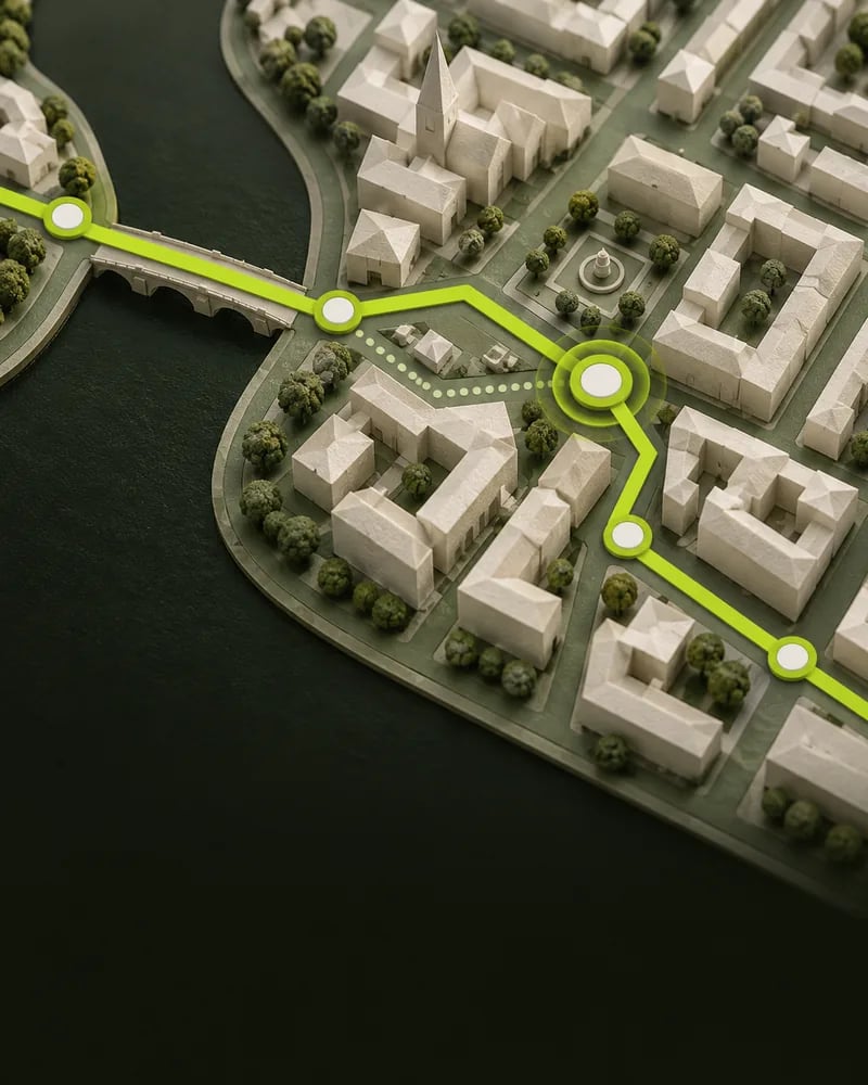
Make it puurfect 😺
Fine-tune every detail, remove mistakes and add the finishing touches.
Trusted by top GPS artists
Loved by pros, enjoyed by everyone
A rapidly evolving tool
RouteSketcher unlocks the potential of freestyle, open-space GPS art through GPX-based workflows, auto image tracing, and cloning tools that adapt designs to real landscapes

Peter Mitchell
GPS Art Influencer
Great tool, especially the AI Doodle Generator
It's quick & easy, allowing more time to run, walk or ride GPS Art. Super fun!

Trent Collins
Founder of TrentCollins
A great tool to kickstart a GPS Art project
Before RouteSketcher, I wasted hours just figuring out where my art would fit on the map. RouteSketcher removes that friction entirely and lets me focus on the fun part: the creative work.

Sander Gabel
Founder of Runbrandt
Pricing
Changing soonPay once. Sketch forever.
No subscription. No credit card to start.
GPS Art Explorer
Try out the app with 2 free sketches
- 2 free sketches
- AI Doodle Generator (beta)
- Import from GPX file
- Hundreds of shapes from the GPS Art Directory
- Transparent PNG or video overlay for social
- Download your sketch as a GPX file
- Export to your favourite app or watch
GPS Artist
One time payment. Unlimited sketching, forever.
- Unlimited sketching
- Edit your saved sketches
- AI Doodle Generator (beta)
- Import from GPX file
- Hundreds of shapes from the GPS Art Directory
- Transparent PNG or video overlay for social
- Download your sketch as a GPX file
- Export to your favourite app or watch
- Publish to the public gallery, show it to the world!
FAQs
Common questions
Everything about GPS art, snapping routes to real roads and getting your drawing onto Strava, Garmin and Komoot.
GPS art is the practice of running, cycling or walking a route that draws a picture on the map when your GPS track is recorded. It is also called Strava art or GPS drawing, because most people share the finished shape on Strava. You plan the route first, follow it with a watch or phone, and the recorded activity becomes the artwork.
Strava art guide: examples, ideas and tipsIn four steps. First, draw a shape in RouteSketcher or pick one from the GPS Art Directory and place it over your city. Second, snap it to real roads and paths. Third, download the route as a GPX file. Fourth, load that file into Strava, Garmin Connect or your watch and follow it. When you finish the activity, the recorded track shows your drawing.
Tutorial: create your first sketchRouteSketcher is a browser-based route planner built for GPS art. Draw freehand on the map, pick a ready-made shape from the GPS Art Directory, or describe a shape and let the AI draw it. Position and resize it over any location, snap it to real streets, then export it as a GPX file for your favourite outdoor app or smartwatch. There is nothing to install.
Yes. Snapping uses OpenStreetMap street and path data, so your shape follows roads, trails and cycleways you can actually run or ride. You can also download the unsnapped freehand version if you prefer the pure drawing, which works well in open spaces like beaches, parks and tracks.
Anything that accepts a GPX file. That includes Strava, Garmin Connect and Garmin watches, Komoot, Suunto, Coros, Wahoo, and phone apps on iPhone and Android. You can also open your route in Google Maps. RouteSketcher itself runs in the browser, so no extra app is needed to create the route.
Download the sketch as a GPX file, import it into Garmin Connect as a course, then sync your watch. The course shows up under Navigation on the watch and guides you turn by turn while you run or ride. Our step-by-step guide covers the whole flow with screenshots.
Tutorial: export to Garmin Connect and watchA GPX file is not meant to be opened like a photo or a document: it is a route file you import into a mapping or fitness app. Upload it to Strava, Garmin Connect, Komoot or Google Maps and it becomes a route you can follow. Our tutorials walk through each app one step at a time.
Tutorial: open your sketch in Google MapsYes. Import any GPX file and edit it in RouteSketcher like any other sketch: move points, extend the route, re-snap it to roads, then export it again. It is handy for reworking an old activity into a shape, or for tidying up a route someone shared with you.
Tutorial: import a sketch from a GPX fileDescribe the shape you want in plain words and the AI draws it for you. Drop the result on the map, resize it, fine-tune the points and save it as a sketch like any other shape. The AI Doodle Generator is in beta and is included in both the free and the paid plan.
Tutorial: generate GPS art with AI promptsYes. Upload a PNG, JPG or WebP image under 2 MB and the auto-tracer turns its outline into a route in seconds, ready to drop on the map. Simple, high-contrast images such as logos, text, cartoons and silhouettes trace best; photos and busy pictures rarely give a clean route.
RouteSketcher works with routes from 500 m up to 1000 km (about 621 miles). Anything shorter than 500 m is too small to read as a drawing on the map. Most GPS art routes land between 5 and 15 km because that is a comfortable run, and larger shapes read better, so size the shape to the distance you actually want to cover.
Nothing breaks. Your artwork is whatever your device records, so small detours simply soften the lines, and GPS drift near tall buildings or tunnels does the same. Keep the shape bold and avoid tiny details and your drawing stays readable even when the track wanders a few metres.
Yes. GPS art works with any activity your device records: running, cycling, walking, hiking, even skiing. RouteSketcher shows the distance and an estimated time for your route in kilometres or miles, so you can size the shape to the activity you have in mind.
Yes, anywhere in the world. Snapping uses OpenStreetMap data, so any city, town or trail network in it can be your canvas. Dense grid cities suit detailed shapes, rural areas suit big outlines. Always check the route before you head out: snapping follows the map, not the traffic rules, so keep off motorways and private property and adapt the shape to what is safe where you are.
Yes. It runs in any modern mobile browser, so you can sketch on a phone or a tablet just as well as on a laptop. There is no app to download and no app store account involved.
You need a free account, but no credit card. The free GPS Art Explorer plan includes 2 sketches, the AI Doodle Generator, GPX import and export, the shape directory and social overlays, so you can test the whole flow before paying anything.
RouteSketcher costs 19.99 USD once, down from 50 USD as a launch price. It is a one-time payment rather than a subscription, and it unlocks unlimited sketching forever, editing of saved sketches and publishing to the public gallery. The free plan gives you 2 sketches to try first.
See what is included in each planYes. Purchases are refundable within 15 days: email [email protected] with your purchase details and we will take care of it. After 15 days purchases are final.
Export your sketch as a transparent PNG or as an animated video overlay, then place it over your own photos, Reels or Stories. You can also publish the route to the public GPS Art Directory, where other creators can find it and get inspired.
Browse the public GPS Art DirectoryUse the Feedback link in the menu or in the footer: it opens a short form that lands straight in my inbox, and I reply to it myself. You can also reach me on Instagram or by email at [email protected].
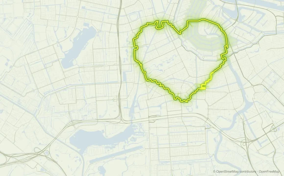
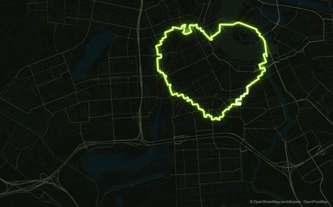
Heart loop · 11.8 km · 1:02:14
Run something amazing.